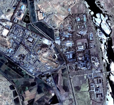
Publicly available tools like Google Earth have brought access to commerical satellite images to anyone with an internet connection. The Google Earth image here shows the Yongbyon facility in DPRK.
(Source:
Google Earth)
Information generally available to the public from
external sources, such as: scientific literature; official
information; information issued by public organizations, commercial
companies, and the news media; and commercial satellite images.